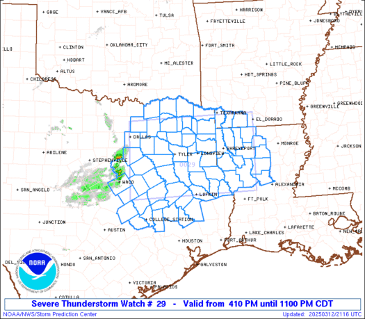
PDS Tornado Watch about to be issued for parts of MS and AL. Here we go!
mcd0200.gif
Mesoscale Discussion 0200
NWS Storm Prediction Center Norman OK
1056 AM CDT Wed Mar 17 2021
Areas affected...Central MS...Central AL
Concerning...Severe potential...Tornado Watch likely
Valid 171556Z - 171800Z
Probability of Watch Issuance...95 percent
SUMMARY...The environment is becoming increasingly favorable for
tornadic supercells and a PDS tornado watch will likely be needed
within the next hour or two.
DISCUSSION...Regional radar and satellite imagery continues to show
deepening convection within the broad and robust warm-air advection
regime across much of MS and AL. Some modest clearing occurred
briefly ahead of the leading showers over MS and temperatures across
much of central and southern MS are now in the mid 70s. Slightly
cooler surface temperatures exist across central/southern AL.
Dewpoints exhibit a similar trend, with upper 60s/low 70s across
much of central/southern MS and mid to upper 60s across
central/southern AL. These thermodynamic conditions have eroded much
of the convective inhibition across the region, although forecast
soundings do suggests some minimal (i.e. MLCIN of -25 J/kg or more)
likely remains in place at the top of the boundary layer. Continued
moistening of the low-level profile coupled with slight cooling
aloft should result in a removal of all convective inhibition.
In addition to improving thermodynamics, the low-level wind fields
continue to increase. Recent VAD profiles from LIX and DGX show 50
kts within the 1-2 km layer. Latest VAD from DGX also sampled 0-3 km
storm-relative helicity over 350 m2/s2. These strengthening
low-level winds are expected to persist while gradually spreading
northward/northeastward into more of northern AL. Deep-layer
vertical shear is already in place over the region, with 0-6 km bulk
shear currently 50 kt over central MS/AL, increasing to 70 kt over
northern MS/AL.
In all, the overall environment is expected to becoming increasingly
favorable for discrete supercells capable of all severe hazards,
including intense tornadoes. These initial storms are forecast to
develop within the 17-19Z time frame. A prolonged threat for
tornadoes is anticipated across the region, with conditions
remaining favorable well into the evening.
